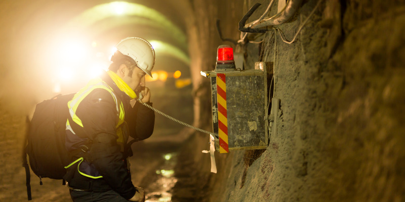
When you hear the words “underground mine mapping”, you may envision someone with a flashlight trying to find specific points in a dark cave. While that might have been somewhat accurate a century ago, today underground mine mapping utilizes lots of tools and technology to provide more accurate data for mining companies.
Not only does underground mine mapping involve using surface surveys to gather data about the depth and layout of the mine, but survey teams also coordinate underground technology applications to gather specific data points. For example, surveyors will run lines down the straightest of mine tunnels to get control coordinates to use for other more complicated areas. Additionally, electricity may be run throughout the mine so that visibility is better and safer for everyone inside.
Surveyors working in mining will have many tools available to ensure that the data they collect is accurate. As technology changes, the use of computers to collect data has made it easier for underground mine mapping to become an efficient process as land is developed and mined. For example, 3D mapping is now made possible with systems like radar, versus the standard tri-pod applications you might see elsewhere.
Safety is critical for surveyors who complete underground mine mapping, but with the improvements to technology, it is getting easier to achieve both safety and correct maps.